Central Illinois faces storms then sharp cooling this week
Summarised from 2 outlets · 4 reports · Updated 13 Nov, 00:32 · Archive
A low-pressure system will bring scattered showers and thunderstorms to Central Illinois on Wednesday afternoon, followed by a significant cooldown.
A low-pressure system moving into Central Illinois will bring gusty winds and scattered showers on Wednesday, with the most active weather expected between 1 p.m. and 5 p.m. The day will start with sunshine and temperatures climbing into the low 60s, but gusty northwest winds of 25 to 30 mph will make it feel cooler. The Storm Prediction Center has issued a 5-15% chance of severe wind and hail along and east of I-57, with a 2-5% tornado risk further east along and east of the Wabash River into Indiana. Strong wind gusts will be the primary threat with any thunderstorms that develop.
The system will quickly push eastward into Indiana toward sunset, clearing Central Illinois by Wednesday evening. Once the low tracks into the Ohio River Valley, winds will shift to the north and temperatures will begin to fall, with overnight lows dropping into the upper 30s and lower 40s.
Thursday will bring a significant cooldown, with temperatures about 20 degrees cooler than Wednesday and highs only reaching the mid to upper 40s. Northerly winds will gust around 30 mph throughout the day, making it feel even colder. Scattered showers are possible, particularly along and northeast of a line from Monticello to Paris, where very light lake-enhanced showers may develop. Any remaining showers could transition to trace amounts of snow late Thursday night into Friday morning, primarily across the far northeast.
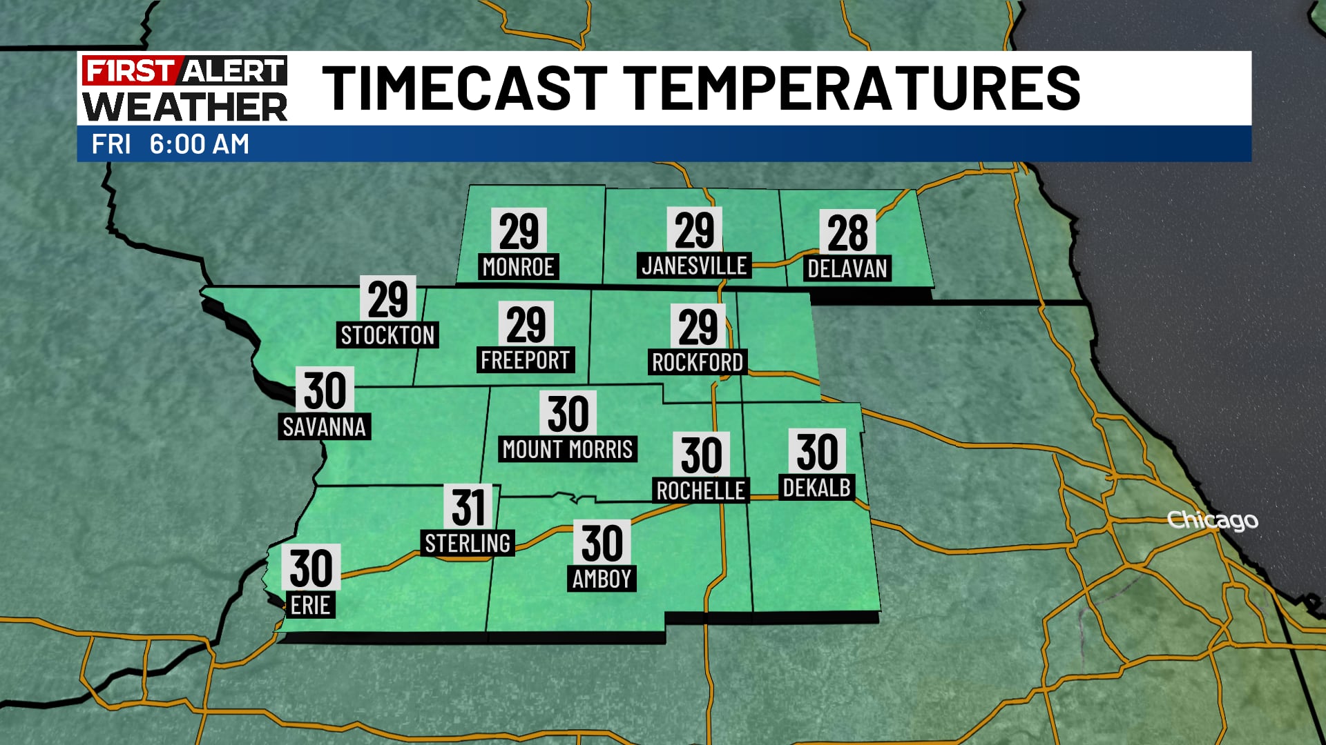
Friday will be the coldest day of the week, with overnight lows in the mid-20s and highs in the low to mid-40s. Weekend temperatures will remain chilly but improve gradually, with highs in the mid to upper 40s on Saturday and upper 40s on Sunday. Temperatures will moderate to the lower to mid-50s by Monday and Tuesday as high pressure builds into the region.
How it is being reported
- Chilly end to the week across northern IllinoisTemperatures stay on the chilly side through the weekend, but will eventually rebound.WIFR · 13 Nov, 00:02
- Chilly and breezy day ahead for Central IllinoisTemperatures will be much cooler with gusty winds.Wandtv · 12 Nov, 10:45
- Chilly days ahead for Central IllinoisOne last warm day before daytime highs drop to the 40s for the next few daysWandtv · 11 Nov, 19:00
- Blustery day ahead for Central Illinois with scattered showers and stormsA windy and stormy afternoon ahead.Wandtv · 11 Nov, 10:39
In this story: Central Illinois · Interstate 57 · Wabash River · Indiana · Ohio River Valley · Great Lakes
This summary was written by AI from the headlines and standfirsts above, and states as fact only what at least two outlets report. How we use AI · Report a problem · Corrections log
Comments (0)