Carolinas to warm before rain returns midweek
Summarised from 2 outlets · 3 reports · Updated 2 Nov, 08:39 · Archive
The Carolinas will experience a warming trend this week before rain and thunderstorms return from midweek onwards.
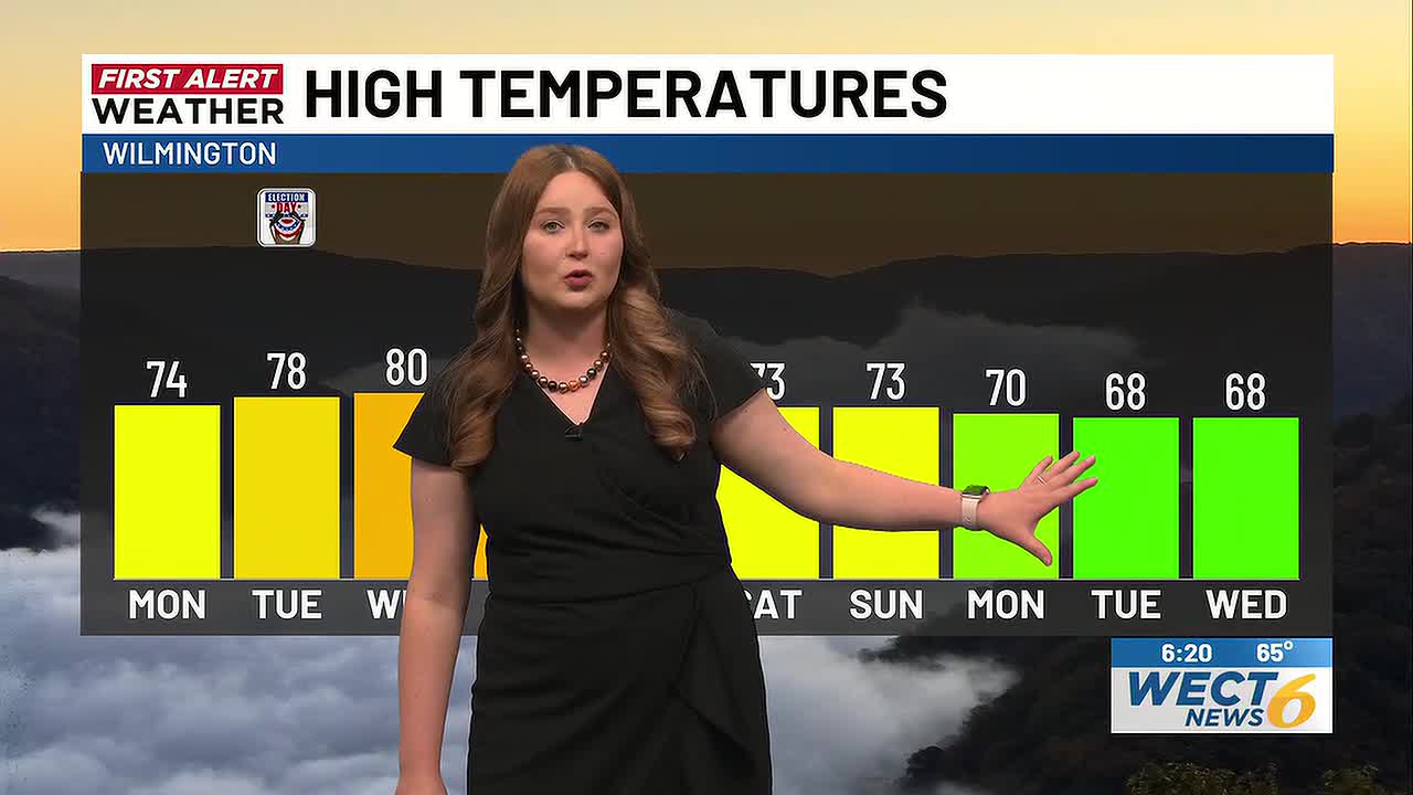
The Carolinas face a warming trend early in the week before rain and thunderstorms return from midweek. Monday and Tuesday will be partly cloudy with highs in the low to mid-70s, with only stray showers possible. As high pressure builds over the region, conditions will gradually shift from cooler weekend weather into warmer days ahead.
From Wednesday, an area of low pressure moving east from the Plains will bring increasing chances for measurable rainfall. Wednesday afternoon will see scattered showers with highs in the mid-70s. A First Alert is in place for Thursday, when showers and thunderstorms are expected with highs in the 70s. Additional hit-or-miss showers may occur on Friday, with highs in the 60s and 70s.
Weather conditions are expected to improve into next weekend, which looks mainly dry and pleasant with highs in the upper 60s and lower 70s.
How it is being reported
- First Alert Forecast: turning warmer, rain chances gradually reemergingThese chances are yet far from 100% but still worth noting.WECT · 2 Nov, 08:06
- Charlotte region warms up through midweek before rain returnsFirst Alert: Rain and thunderstorm chances return next weekWBTV · 1 Nov, 12:28
- Cooler weekend ahead before rain returns midweek across the CarolinasFirst Alert: Rain and thunderstorm chances return next weekWBTV · 31 Oct, 10:58
In this story: Carolinas · Charlotte · Plains · Cape Fear
This summary was written by AI from the headlines and standfirsts above, and states as fact only what at least two outlets report. How we use AI · Report a problem · Corrections log
Comments (0)