Temperatures to drop later this week across the region
Summarised from 2 outlets · 5 reports · Updated 24 Sept, 22:56 · Archive
A cold front will bring cooler temperatures and breezy conditions starting Wednesday.
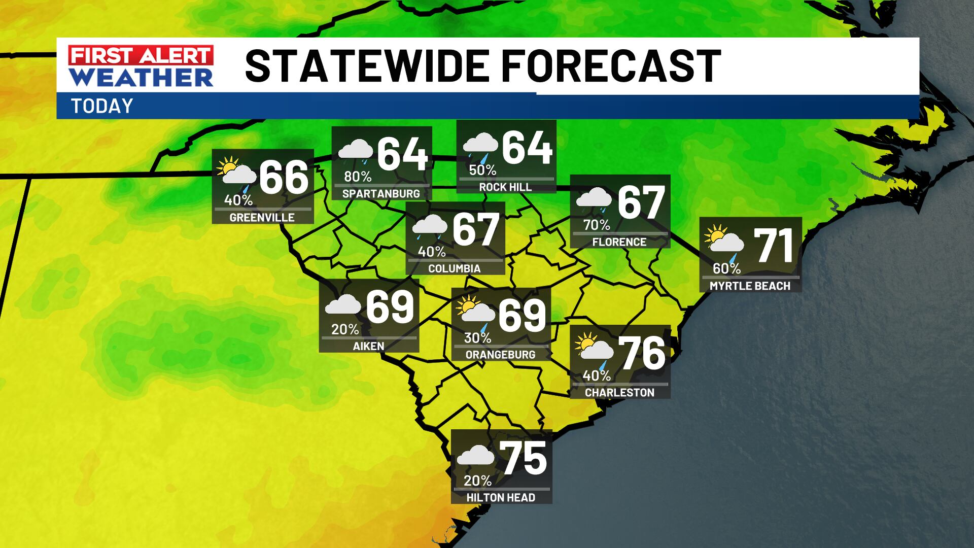
Fall begins today with cooler air arriving starting Wednesday as a strong cold front moves across the region. The cooler weather is expected to persist into the weekend, with cloud cover likely and possible rain showers.
How it is being reported
- FIRST ALERT: Staying cloudy and cool with rain showers possibleSunshine will be hard to come by today, keeping things cool.WISTV · 24 Sept, 09:49
- FIRST ALERT: Fall starts out cloudy and coolCooler air has settled into the Midlands and is here to stay into the weekend!WISTV · 23 Sept, 09:43
- FIRST ALERT: Early-fall front to bring major cooldown starting WednesdayCooler and breezy weather arrives on Wednesday as a strong cold front sweeps across the Lowcountry!Live5News · 23 Sept, 04:23
- FIRST ALERT: Temperatures drop later this week!Fall begins today, but the cooler air arrives starting Wednesday.WISTV · 22 Sept, 09:51
- FIRST ALERT: Temperature and humidity drop this week!Fall officially begins Tuesday, with cooler air giving us a break from the heat and humidity later this week.WISTV · 21 Sept, 21:21
In this story: Lowcountry · Midlands
This summary was written by AI from the headlines and standfirsts above, and states as fact only what at least two outlets report. How we use AI · Report a problem · Corrections log
Comments (0)