Waffle House closures become indicator of hurricane severity
Summarised from 2 outlets · Updated 8 Oct, 18:19 · Archive
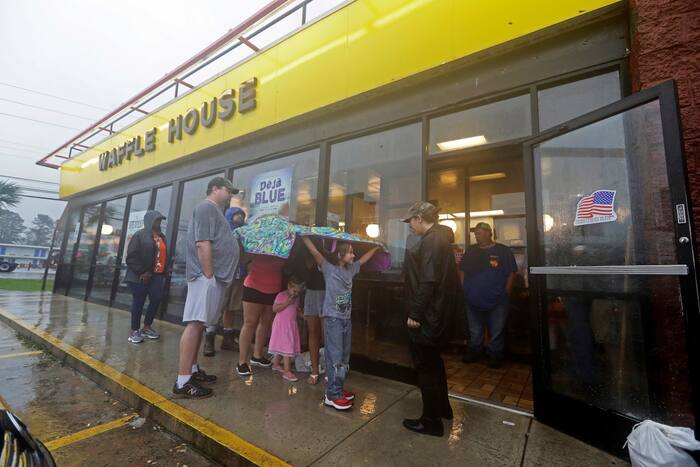
The openness or closure of Waffle House restaurants has become a widely used measure of hurricane severity in the Southeastern United States, used by residents and federal officials alike.
If a Waffle House stays open in a town, even in limited capacity, neighbours are reassured that the coming storm is unlikely to cause devastation. Conversely, a closed location has come to indicate impending disaster. The metric is known as the Waffle House Index.
With over 1,900 locations concentrated in the Southeast and mid-Atlantic, a map of the chain's restaurants helps residents of storm-prone states assess whether they are likely to lose power, experience severe flooding or endure other extreme conditions. For some, it is a telltale sign of whether they need to evacuate. The South's favourite disaster authority provides an informal measure of how significantly a storm will affect or has affected a community.
Waffle House is known not just for serving breakfast 24 hours a day, 365 days a year, but also for its disaster preparedness. This reliability has made it one of the most effective ways to identify communities most in need of immediate aid.
How it is being reported
- The Waffle House Index helps Southerners — and FEMA — gauge a storm's severityFor some residents of storm-prone Southeastern states, the best indicator of a hurricane’s severity can be found at the local Waffle House.Clickorlando · 8 Oct, 17:53
- The Waffle House Index helps Southerners — and FEMA — gauge a storm's severityFor some residents of storm-prone Southeastern states, the best indicator of a hurricane’s severity can be found at the local Waffle House.News4Jax · 8 Oct, 17:53
In this story: Waffle House · Southeast · Mid-Atlantic · FEMA
This summary was written by AI from the headlines and standfirsts above, and states as fact only what at least two outlets report. How we use AI · Report a problem
Comments (0)